


Iraq’s GPS Blackouts Hint at Pre-Emptive Security Moves Amid Regional Tensions
For more than a week, Baghdad and several Iraqi provinces have experienced sustained GPS disruptions that degrade or falsify location data across core districts, including areas surrounding the Green Zone, with effects cascading into navigation services and flight routing. Delivery and mapping applications such as Waze and Google Maps misplace location pins or freeze entirely, while consumer drones fail to arm or launch. Drivers and dispatchers report longer routes, mounting delays, and increased fuel costs.
Officials have offered no technical explanation. Local media outlets and sector sources attribute the outages to temporary security measures, specifically wide-area counter-drone jamming, implemented around the parliamentary elections. Claims that the Joint Operations Command activated jammers in Baghdad remain unconfirmed; repeated calls to publicly listed JOC numbers went unanswered.
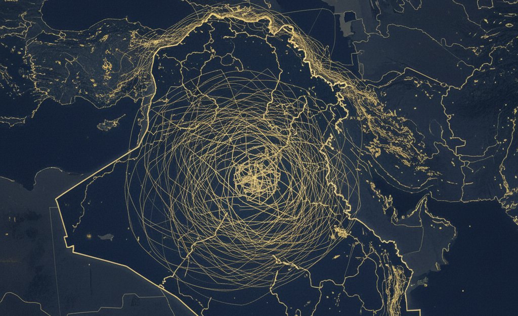
Technical readings and user reports indicate the strongest interference occurs in northern and eastern Iraq, particularly along the Iraq–Iran border belt. Similar disruptions were recorded on overflights in March, May, and September 2025, suggesting a recurring pattern rather than an isolated technical glitch.
Context: Iraq has seen a marked rise in GPS interference since 2023, with civil-aviation advisories noting jamming inside the Baghdad Flight Information Region (BAGHDAD FIR) and issuing repeated technical warnings through 2024–2025. The current Baghdad-centric wave coincides with an elevated security posture ahead of elections and with renewed Iraq–Iran security coordination.
On 20 October 2025, Iran’s national security chief Ali Larijani and Iraq’s national security adviser Qassem al-Araji met to review bilateral security ties, the joint border agreement, and steps to relocate Iranian Kurdish opposition elements away from frontier zones. Iraqi statements afterwards reiterated that Iraq will not allow its territory to be used against any neighbour, language consistent with tighter pre-emptive controls along the eastern approaches.
Analysis: The disruptions appear to be a deliberate security effect tied to Iraq’s election-period counter-UAV posture, with civilian fallout as collateral. The day-to-day problems, misplaced pins, stalled navigation, grounded consumer drones, slower courier dispatch, are useful symptoms of a broader reality: Iraq is sitting inside an intensifying regional electronic contest whose signatures are now visible in Baghdad and along the northeast corridor.
Interference is most evident in central Baghdad, especially near sensitive sites, including the Green Zone, and concentrate more broadly in northern and eastern Iraq along the Iran border. Similar anomalies recorded on overflights in March, May, and September 2025 indicate a recurring pattern, not a one-off outage.
Circulating reports say the Joint Operations Command activated jammers in Baghdad during the election period to deter unmanned threats. While not officially confirmed, the timing and effects are consistent with precautionary measures used to harden air defenses around critical periods and sites. The civilian delivery slowdown is real but secondary to the strategic aim: reduce the precision and freedom of unmanned or guided threats.
Geopolitically, the October 20 engagement between Ali Larijani and Qassem al-Araji put border security, the joint security agreement, and the relocation of Iranian Kurdish opposition groups at the center of Iraq-Iran coordination. In that context, GPS denial inside Iraq, especially along the eastern approaches, looks like pre-emptive risk management: either to deter or to mask operations that could involve or traverse Iraqi airspace, and to complicate adversary ISR and drone navigation.
Iraq has shifted into the set of jurisdictions where GNSS interference is structural rather than episodic: an accepted tool in the security toolkit amid regional escalation. That brings two enduring consequences: (1) civilian friction, logistics inefficiencies, higher costs, grounded small UAVs, whenever jammers are active; and (2) military/counter-intelligence advantage, a degraded navigation environment for hostile drones and precision cues around priority sites and corridors.
As long as the cross-border security file with Iran remains active and election-adjacent precautions persist, intermittent GPS degradation should be treated as a feature of the operating environment, not a glitch.


